

Are you laser scanning with GeoSLAM devices?
Explore the most appealing way to showcase your point clouds and create stunning fly-through videos!
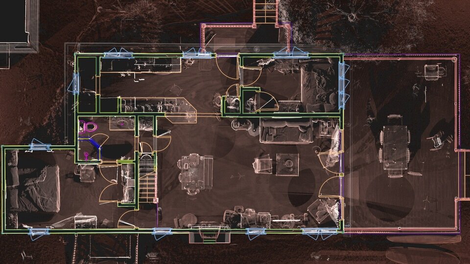
Let your GeoSLAM point clouds shine with NUBIGON
Stunning displays of hand-held laser scanner data
NUBIGON is the preferred 3D rendering software for point clouds captured with GeoSLAM devices.
Present hand-held laser scanner data with stand-out quality using dedicated visualization solutions.
Clear views delivering valuable insights
Get a crisp look at your point clouds, even for the most challenging sites or the quickest scans.
Exploring and interpreting handheld laser scanner data has never been this easy.
The premiere point cloud flythrough solution
It can be hard to present complex technical deliverables.
Point cloud videos made with NUBIGON are the quickest way to showcase your deliverables to any audience.
Curious to see point clouds captured with ZEB Horizon, Revo, and other GeoSLAM laser scanners?
A quick glance at possibilities
Display modes that grab attention
Easily produce fly-through videos
Merge point clouds with CAD & BIM
Benefits

Communicate Projects

Impress your clients
